
Your garden plan, traced from above
Search for your address and draw your plot on the aerial photo: Jardingo turns it into ground in 3D, at the right size. No measuring the plot with a tape before you start.
Free, no adverts, no sign-up needed to start. On iPhone, iPad and in your browser; on Android soon.
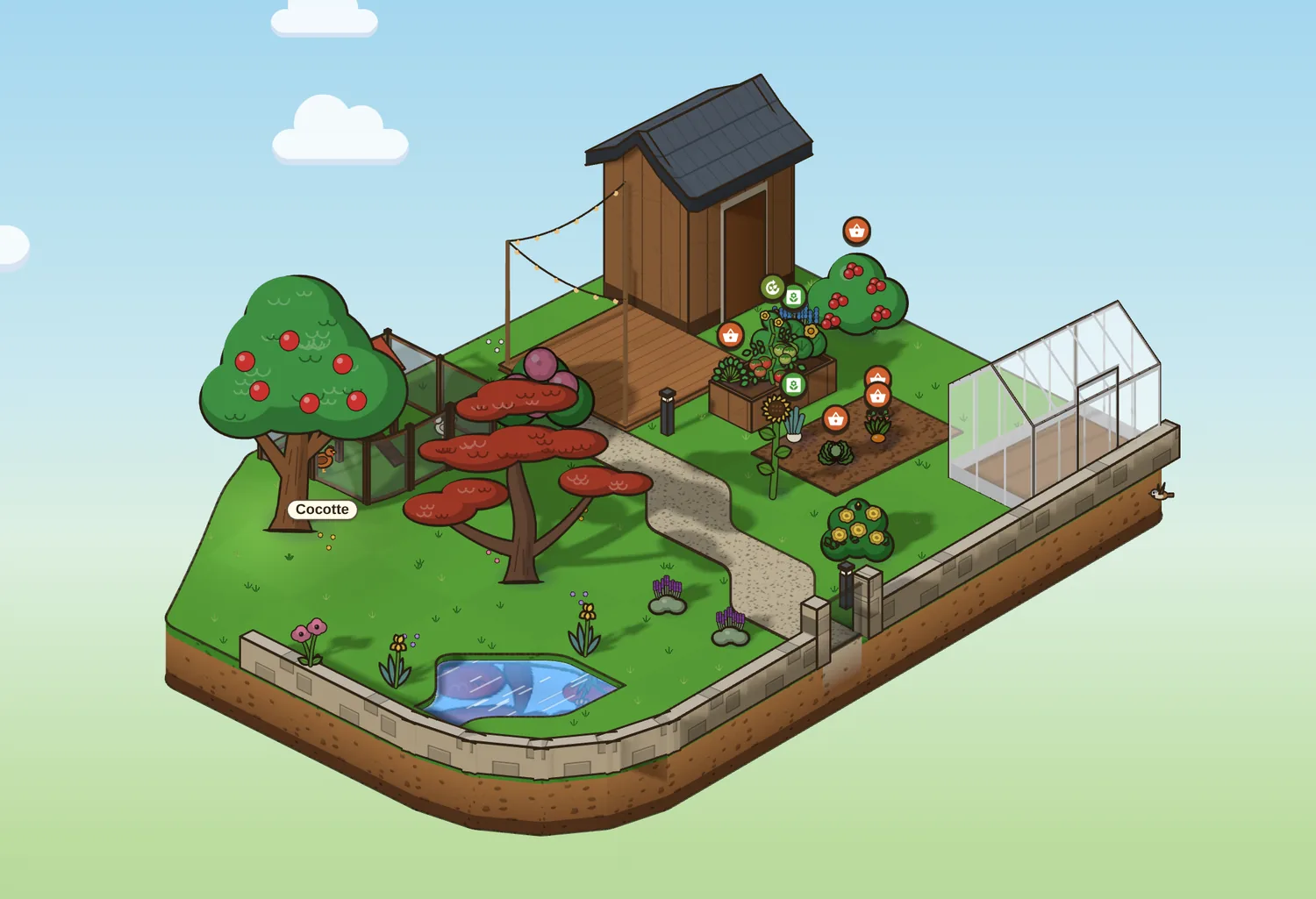
From the photo to 3D
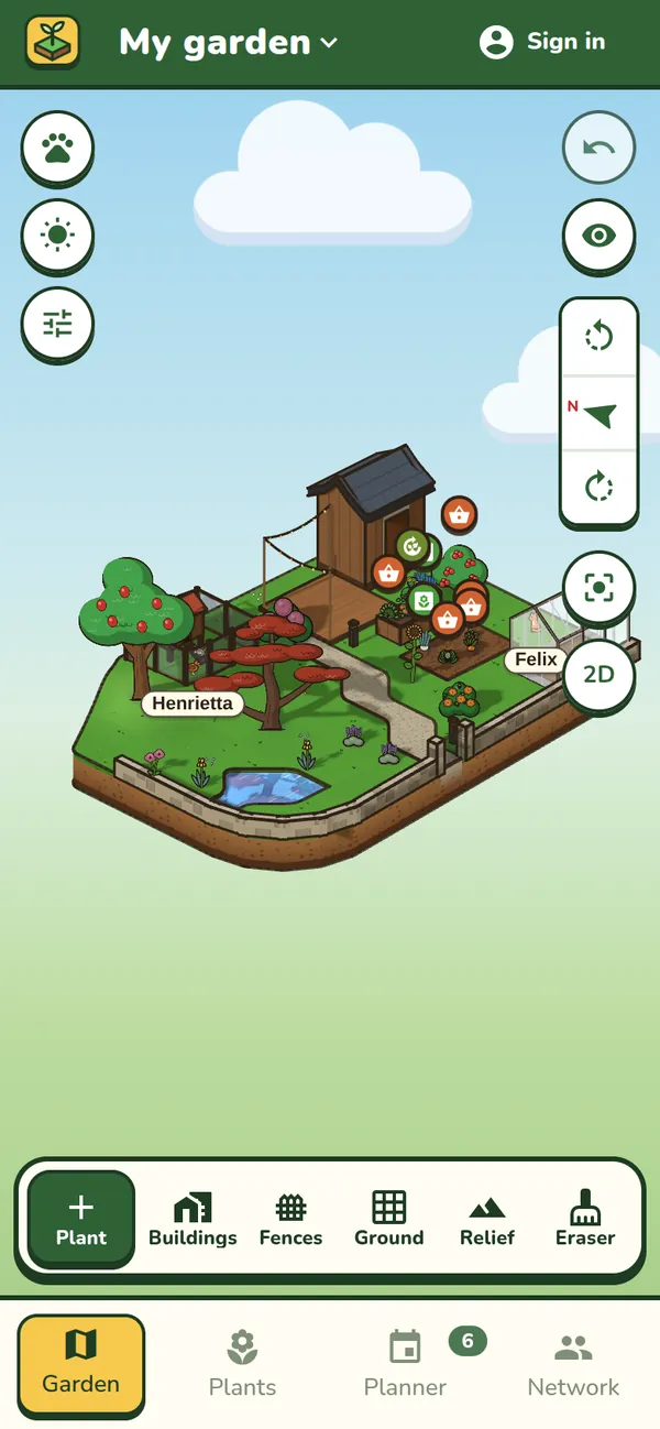
Draw your plot, or tap it on the land registry map where there is one: Jardingo draws the ground and shows it in 3D.
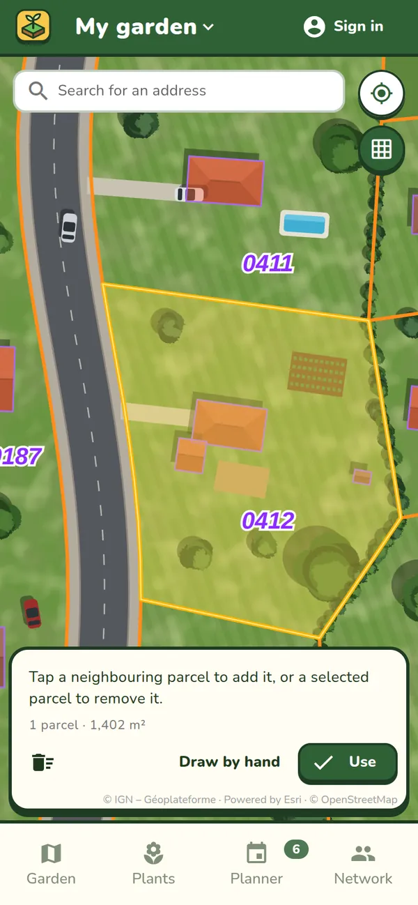
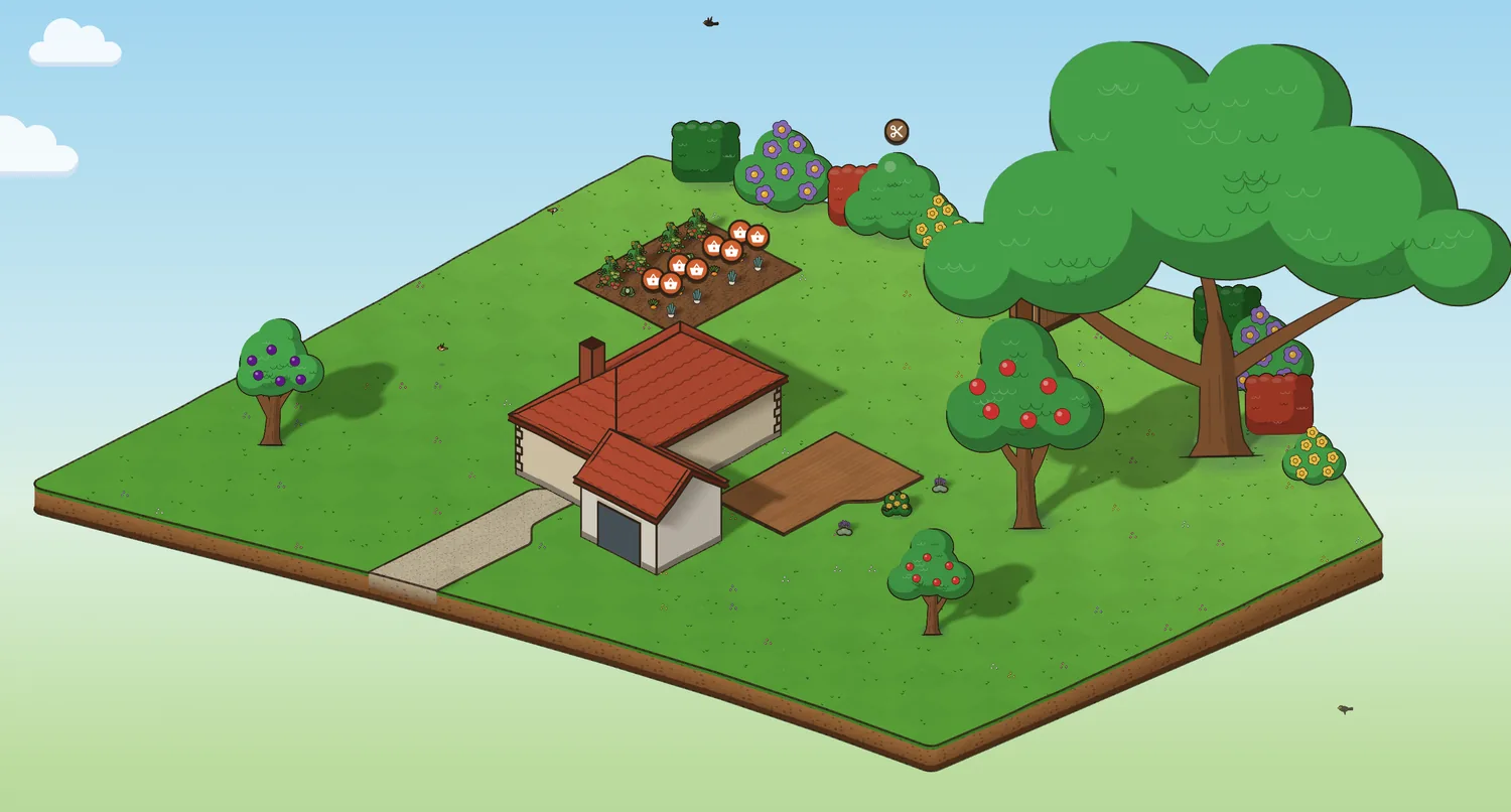
Draw it on the aerial photo
Wherever you live, trace the outline of your plot by hand on the aerial photo, curved edges included. Then lay the photo over the 2D plan to line up the house, the paths and the trees with what’s really there.
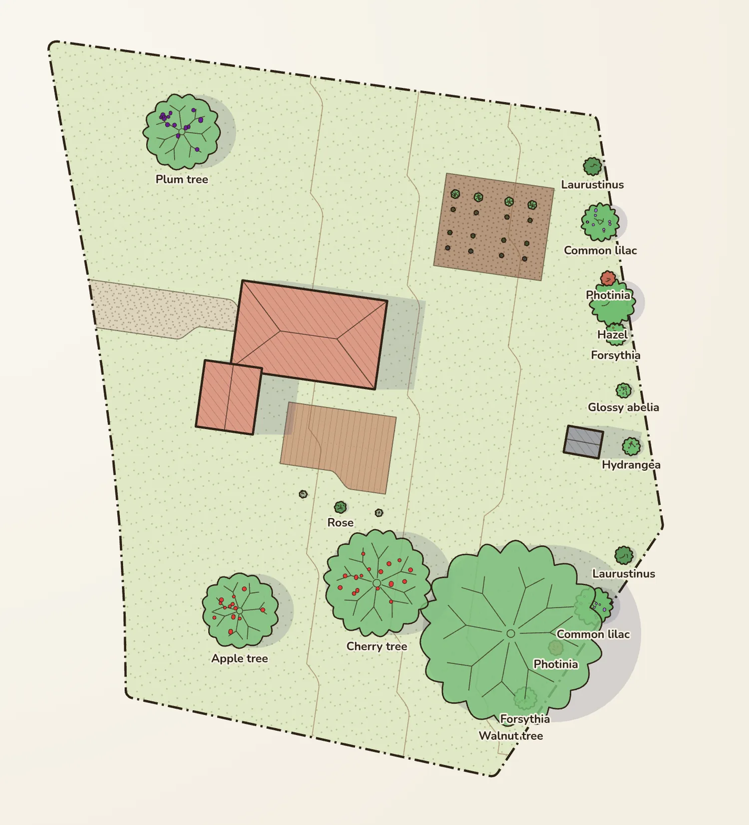
Where there's an open land registry
In Belgium, the Netherlands, Switzerland, Quebec and France, just tap your plot on the land registry map: its outline is taken as it is, and you can tap several plots if your garden spans more than one. Outside France the ground starts flat; shape the slopes yourself. In France, with public IGN data, Jardingo also takes the slopes measured every metre and finds the buildings, water, roads and paths: tap a building it found to put up your house.
Questions
Is the land registry outline the exact boundary?
Not always: land registry maps are not always precise to the centimetre. If your plot has been surveyed, adjust the outline to the boundary markers.
Is my address shown?
No. Visitors see your garden, never where it is, and photos are stored without their GPS location.
Where does the data come from?
Aerial photos, land registry and elevation from the IGN Géoplateforme in France, and from the national land registry services of Belgium, the Netherlands, Switzerland and Quebec.